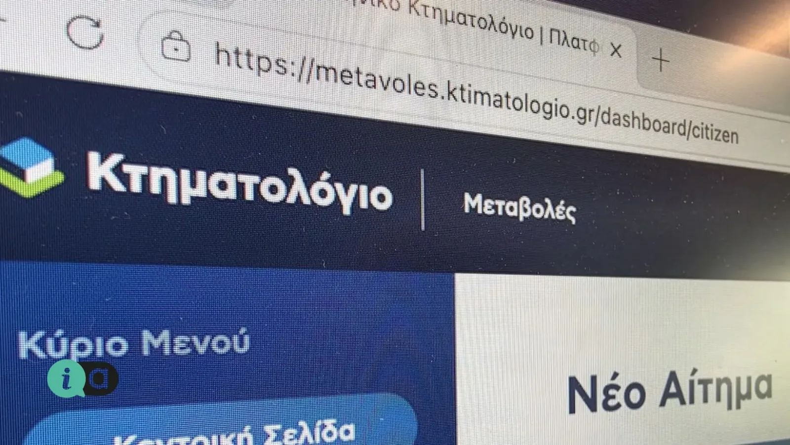
From Friday 18 September, corrections to the boundaries of a property in the Land Registry will be carried out online. The Hellenic Land Registry has launched the platform metavoles.ktimatologio.gr, where applications to correct geometric details — that is, the boundaries and shape of a property, as shown on the cadastral map — can be submitted and tracked.
For Artemida, this is not a theoretical issue. The settlement was largely built before its town planning was finalised, and discrepancies between what the map shows, what the title deed states and where the plot is actually located are commonplace. Just how common this is is evident from the agenda of the Artemida Municipal Community Council meeting on Thursday 24 September, where the very first item on the agenda is precisely the correction of property boundary details in Town Planning Unit 13.
However, care must be taken to distinguish between the two, as this is where time and money are wasted. When the error lies in the cadastral map, the solution lies with the new platform. When the problem stems from the implementation order or the town-planning scheme, the matter is dealt with by the local authority and its departments — this is also the case for issues that reach the Community Council. If you are unsure which category your case falls into, you should consult the engineer before opening any file.
How the platform works. The application is submitted by the owner or their authorised representative, whilst the engineer handling the case enters the Electronic Diagram Code and records the requested correction, which automatically appears on the digital map. The process comprises five stages: submission of the application with supporting documents; notification of the parties concerned — that is, neighbours whose boundaries are affected; submission of views or objections within the deadline; examination of the case; and, finally, the issuing and notification of the decision. Service of documents may also be carried out by bailiffs via the same system.
Not all cases are covered. Properties belonging to the Greek State and general government bodies are currently excluded, as are those registered as having an unknown owner — a category which is not uncommon in Eastern Attica and which continues to follow the familiar, more time-consuming procedure.
In practical terms, what does a landowner in Artemida do if they notice their plot is misaligned on the map: first, they check their plot details on ktimatologio.gr using their TaxisNet codes and note down the KAEK number, then commissions a surveyor to compare the cadastral diagram with the topographical plan in the title deed, and if a discrepancy is found, submits the application via the new platform. One step that saves months: a chat with your neighbour before submitting the application, because if they raise objections, the case will drag on. For enquiries, please visit support.ktimatologio.gr or contact the organisation’s call centre on 210 6505600.
Source: Hellenic Cadastre, press release dated 18 September 2026 regarding the operation of the metavoles.ktimatologio.gr platform; Municipality of Spata–Artemida, Notice No. 9/2026 of the Artemida Municipal Community Council.